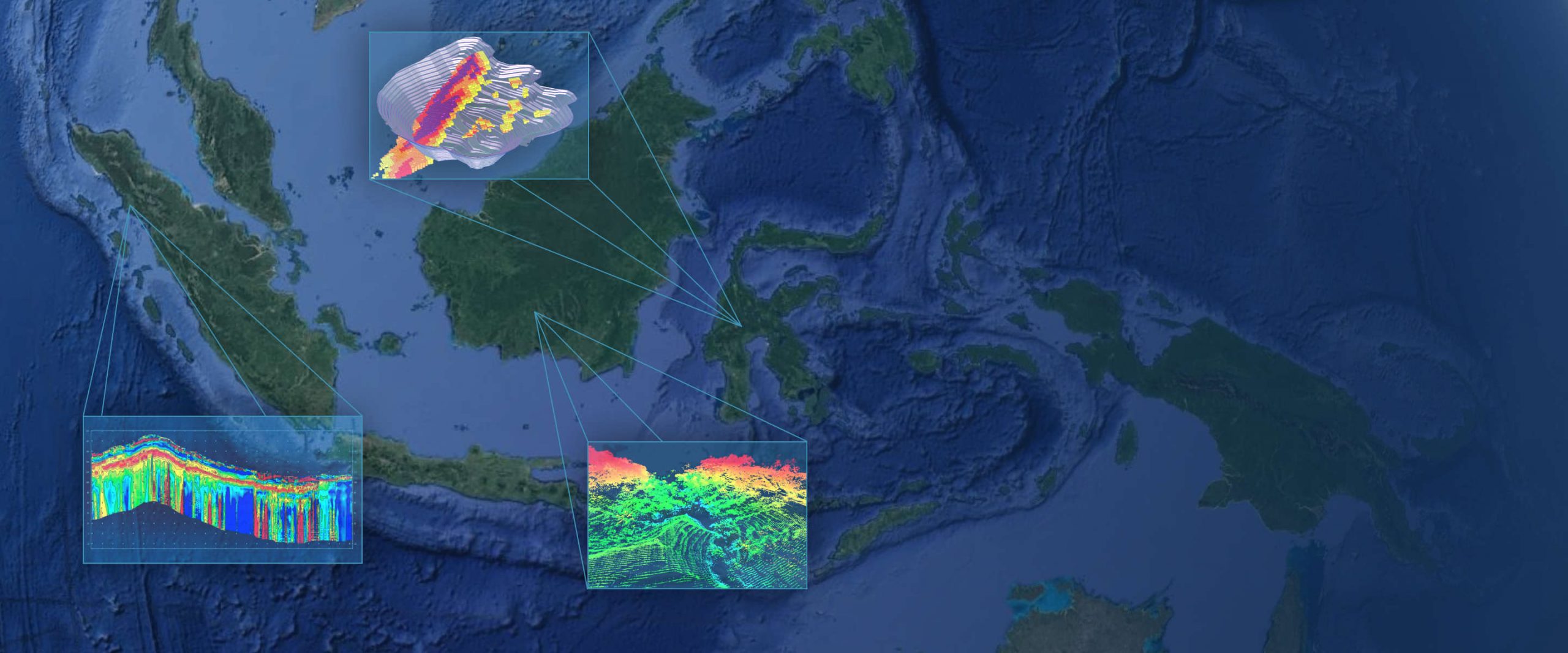
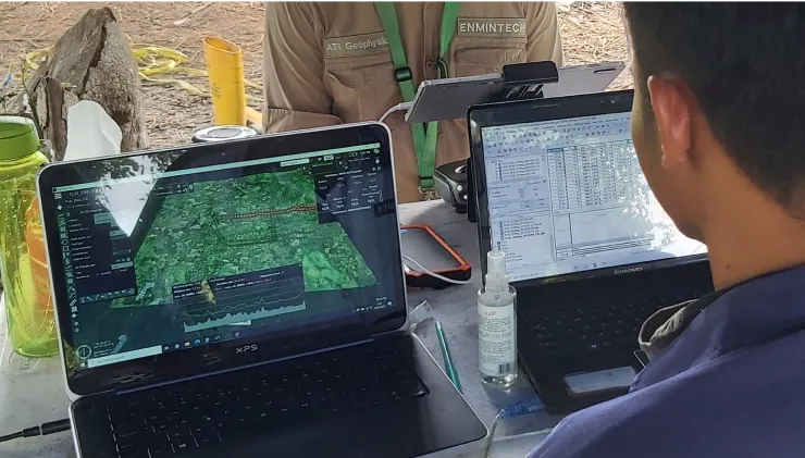
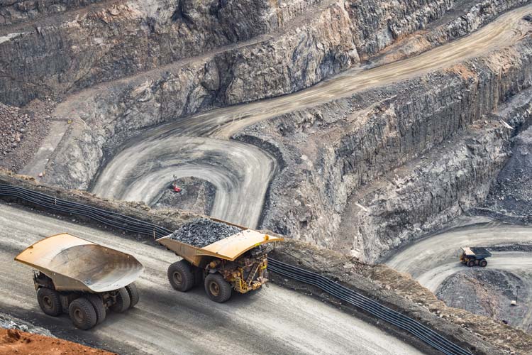
Your Experts for Exploration & Mining Surveys in Indonesia
Expanding to Indonesia is a rewarding yet challenging endeavor, for which you need a reliable partner who knows the place and understands your needs. Enmintech has the experience, know-how, background, and technology to help you find and measure resources and reserves effectively and efficiently.