Your Experts for Geophysical and Land Surveys in Indonesia and Southeast Asia
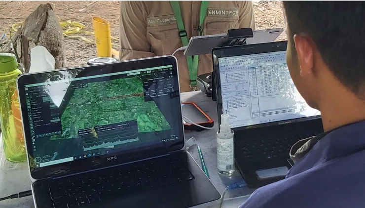
Based in Jakarta and Denpasar, Enmintech’s team of over 30 professionals provides land surveying, geophysical, geological, and engineering services to the resource, energy, and construction sectors in Indonesia. We assist clients from initial project development through analysis and interpretation to supervision and completion.
Your Experts for Geophysical and Land Surveys in Indonesia and Southeast Asia
Based in Jakarta and Denpasar, Enmintech’s team of over 30 professionals provides land surveying, geophysical, geological, and engineering services to the resource, energy, and construction sectors in Indonesia. We assist clients from initial project development through analysis and interpretation to supervision and completion.
Industry Sectors
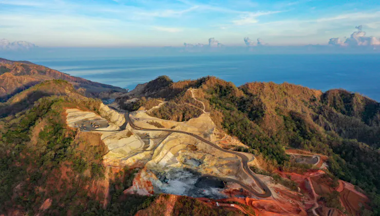
MINING & EXPLORATION
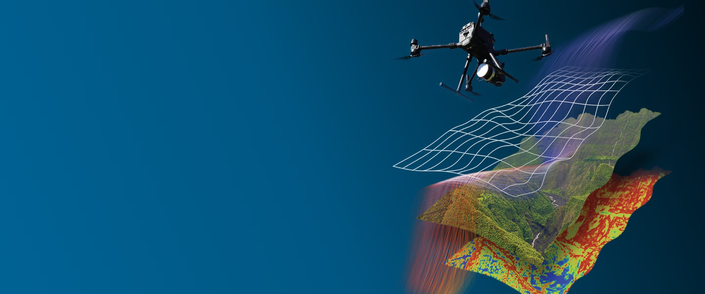
We leverage new technologies and expertise to improve the efficiency of discovering hidden mineral deposits. Our UAVs are equipped with LiDAR, high-def magnetic, radiometric, and multispectral imaging sensors to rapidly acquire data, which we process, analyze, and combine to create comprehensive reports.
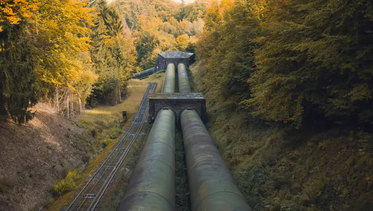
OIL & GAS
Enmintech provides fast and safe UAV pipeline inspections for effective asset monitoring. Our UAVs use multiple sensors for visual checks, LiDAR surface data, leak detection, and gas congestion monitoring. Ground-based geophysics helps identify asset damage, illegal taps, and leaks to ensure pipeline integrity.

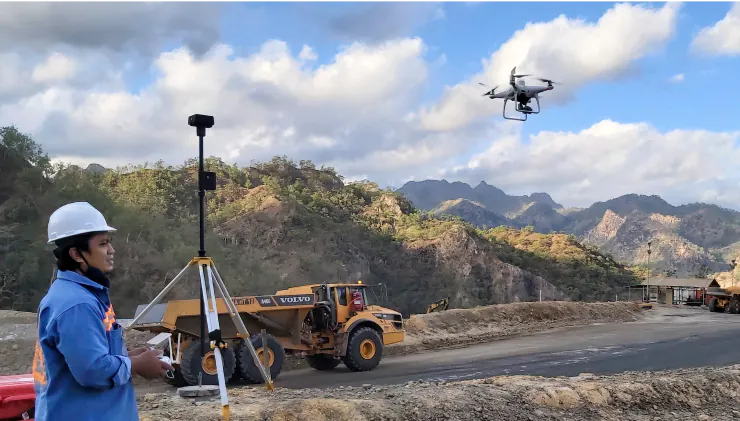
CONSTRUCTION & LAND DEVELOPMENT
Assessing ground conditions and subsurface geology are vital before commencing any construction projects. Enmintech provides LiDAR surveys, boundary checks, landslide assessments, and geotechnical services using UAVs equipped with geophysical sensors to map the surface and subsurface strata.
Mining & Exploration
Oil & Gas
Construction & Land Development
The Enmintech Difference
Advanced Technology
At Enmintech, we utilise the latest and most innovative surveying, UAV, and geophysical technologies, combined with advanced processing and interpretation software, to deliver high-quality, comprehensive results. Inertial Labs, Gemsys, UgCS, Global Mapper, and Netcad are employed on our projects.
Worldclass Expertise
We are flexible and adaptable, with a broad range of qualified and experienced engineers, surveyors, geophysicists, and geologists who can solve problems comprehensively and quickly. Our success is defined by delivering results for our clients beyond expectations.
Fast, Precise & Affordable
The combination of advanced technology and skilled expertise translates to better efficiency on your project. Our technical staff interact constantly on projects to deliver results quickly and proficiently.
Clients that Trust Us
Services
GEOPHYSICAL SERVICES
Enmintech provides comprehensive geophysical surveys for understanding subsurface conditions for exploration, mining, energy, and construction projects, using the latest equipment and techniques available in the region. This includes UAV High-Definition Magnetics, Passive Seismic HVSR, and Deep Induced Polarization.
UAV SERVICES
New technologies combined with UAVs have improved the efficiency for a range of tasks across the resources and construction sectors. Our fleet uses advanced GPS systems and photography, LiDAR, magnetic, and multispectral imaging sensors to accurately acquire data in the most of remote areas. Results are processed and turned around quickly and efficiently.

GEOLOGICAL & MINING SERVICES
Enmintech has expertise to advise on geology, geodetic surveying, ground risk management, and mine engineering. Our experts have assisted with project evaluation, risk assessment, resource / reserve measurement, route planning, and civil design. We routinely provide resource and reserve reports in accordance with JORC, NI 43-101, and KCMI codes.
Geophysical Services
UAV Services
GEOLOGICAL & MINING SERVICES
Quality Surveying services in Indonesia