UAV Services
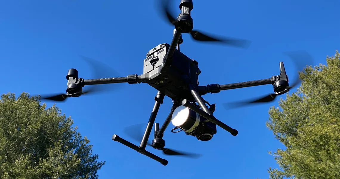
Equipped with a fleet of drones using dual-frequency real-time kinematic GPS, Inertial Labs LiDAR, and photographic systems, we can provide high-quality topographic surveys and videos. Our data processing team use the latest software and cloud-based supercomputers to process the imagery in days rather than weeks. A combination of hi-resolution orthographic imagery and high-resolution LiDAR surveys provide the best of both worlds.
UAV Services
Equipped with a fleet of drones using dual-frequency real-time kinematic GPS, LiDAR sensors, and high-resolution photographic systems, we provide high-quality topographic surveys and videos. Our data processing team use the latest software and cloud-based supercomputers to process the imagery in days rather than weeks. A combination of high-resolution orthographic imagery and high-resolution LiDAR survey data, provides the ultimate definition of the earth’s surface.
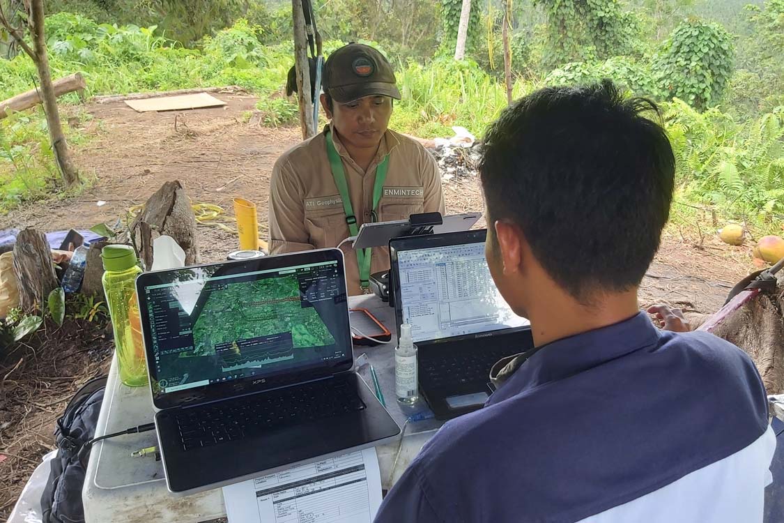
Project Advice and Tailored Solutions
Every project has different requirements and requires specific applications of technology. Our team will meet with you to analyse and understand the project and your expectations. A plan is is then developed and discussed with you prior to implementation.
Photogrammetric Surveys
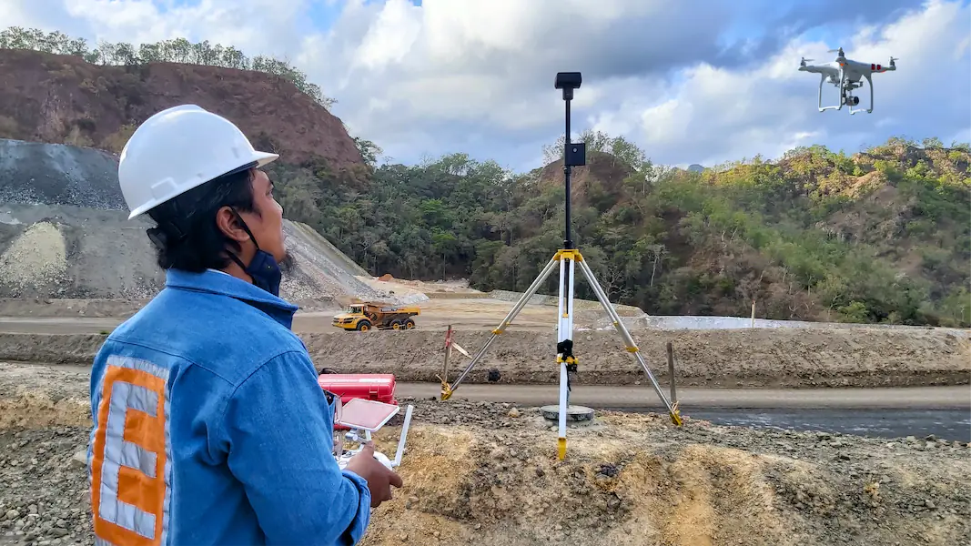
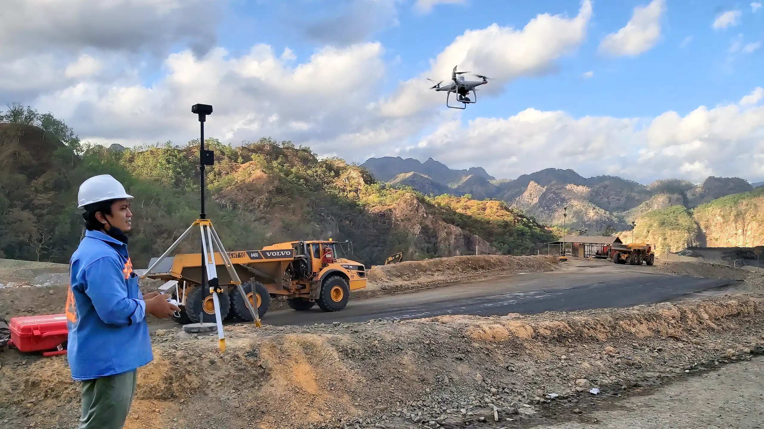
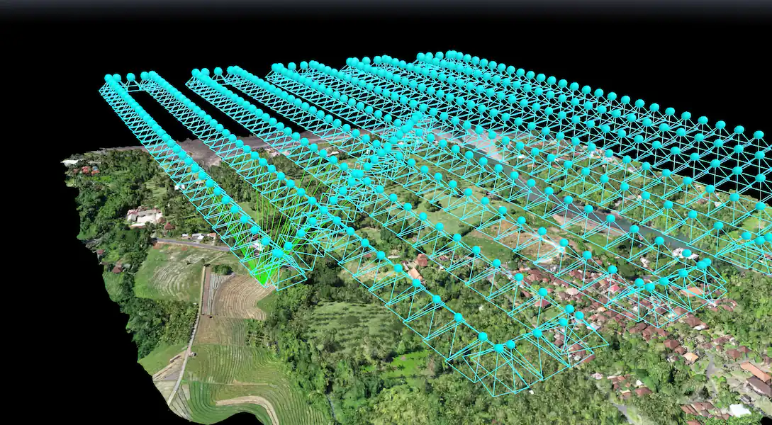
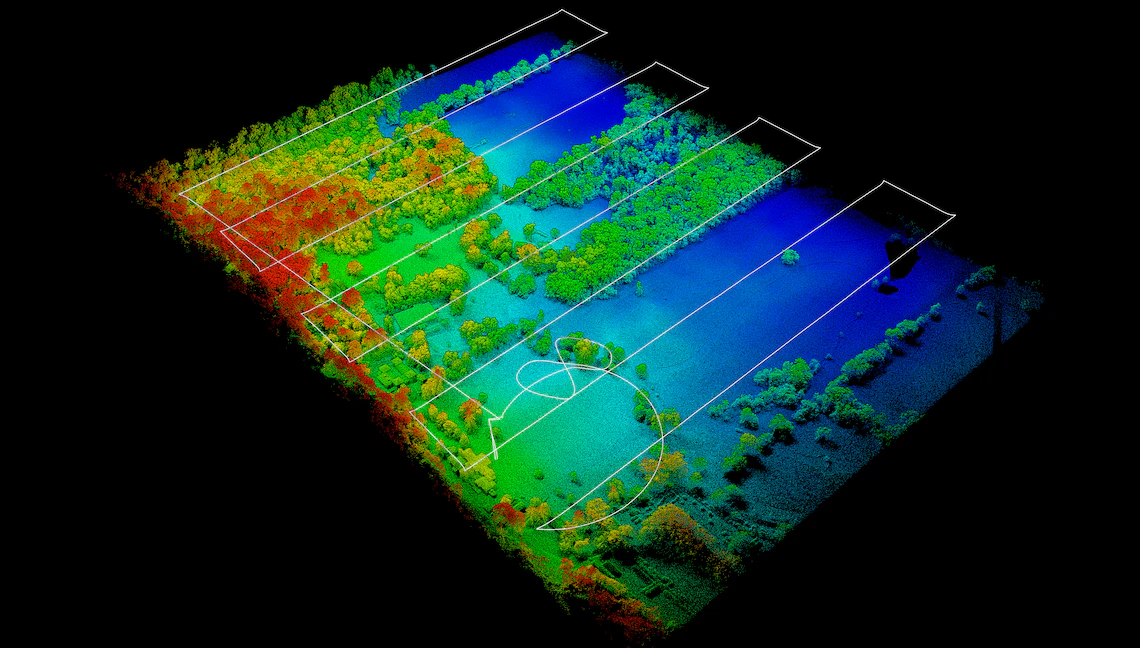
Multiple missions are flown in two directions to obtain the best possible imagery using calibrated cameras mounted on a UAV equipped with High precision dual-frequency RTK GPS.
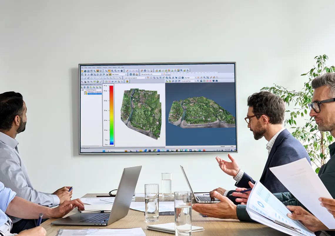
Images are then uploaded to our cloud processing supercomputer in Tucson where they are processed and rectified to provide high-resolution orthoimages and digital terrain models.
LiDAR Surveys
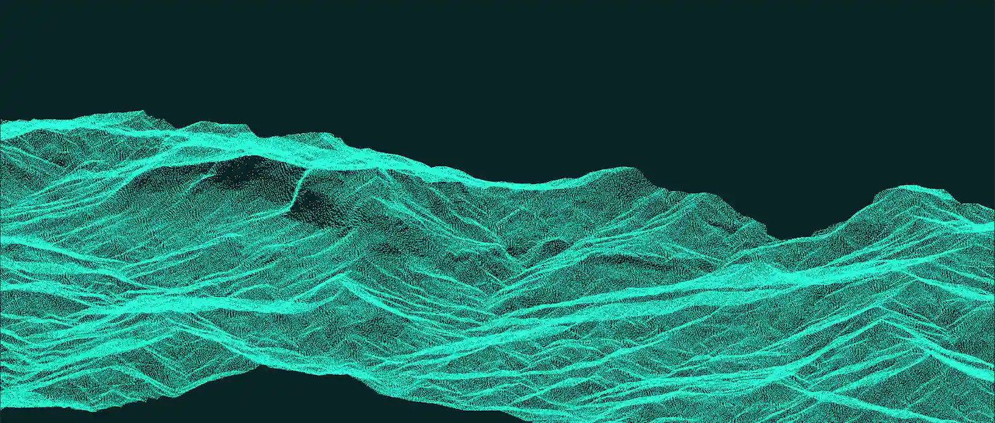
LiDAR penetrates vegetation to define the objects and surface. Classification of data can define trees objects and the ground surface to a high level of precision.
Our UAV is equipped with Inertial Labs powerful MX200 high definition laser designed for heavy vegetation. The sensor is mounted on the M300 Pro and takes 1.2 million measurements per second.
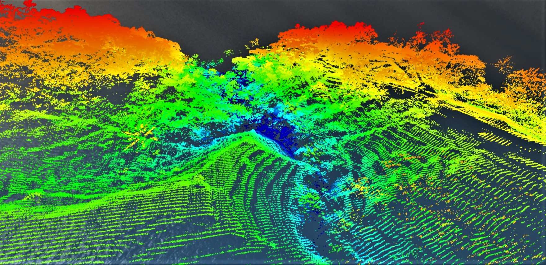
Multiple missions are flown and once data is validated it is uploaded to our high-speed computer processing centre. The point cloud or LAS data is then further processed to provide client-specific outputs, including DTMs, point clouds, contour maps, or volume and area measurements.
An initial photogrammetric survey is flown over the area and then profiles are extracted for the LiDAR UAV to follow at a pre-determined height above ground level.
Quality Surveying Services in Indonesia