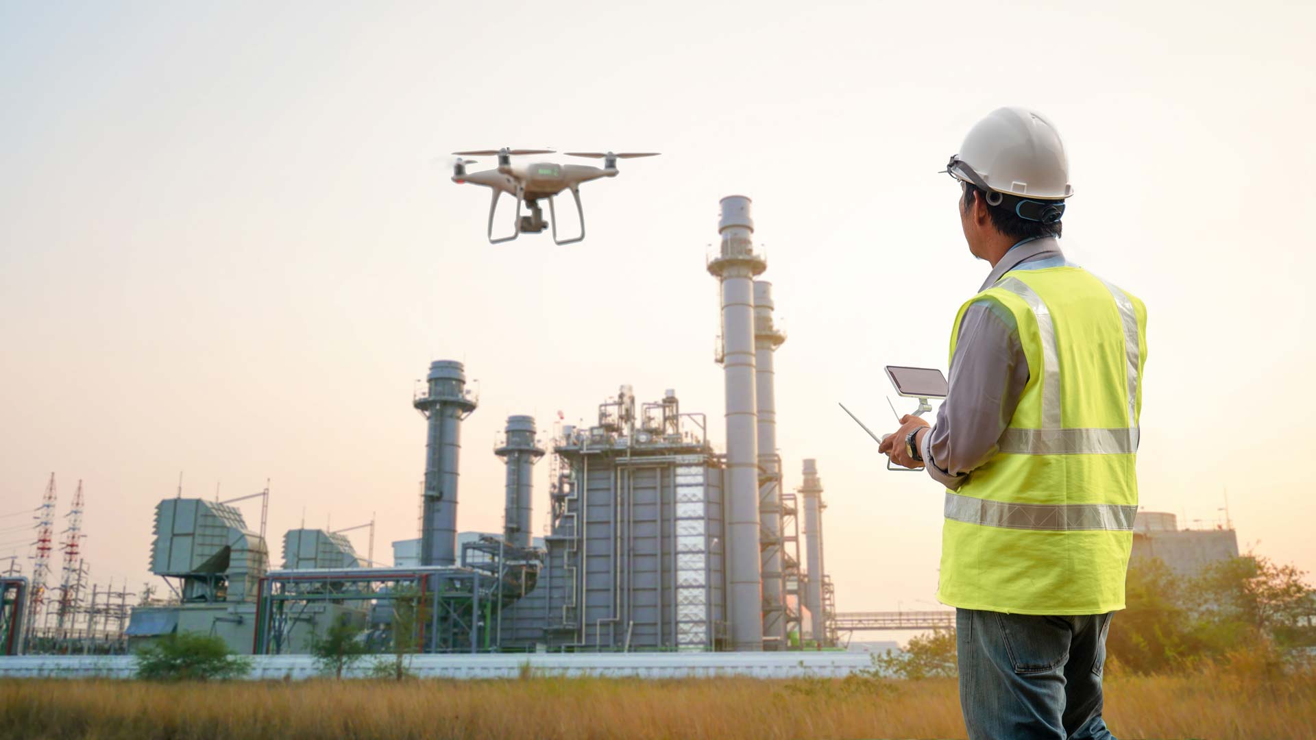
For every Industry we have the Right Solution
We provide a range of cutting edge geophysical, aerial, and geological services to the resources, energy, and construction sectors. No matter what challenges your project faces, together with you we will find solutions that will help you to achieve your goals.
Industries We Serve
Mining & Exploration
We leverage new technologies and expertise to improve the efficiency of discovering hidden mineral deposits. Our UAVs are equipped with LiDAR, high-def magnetic, radiometric, and multispectral imaging sensors to rapidly acquire data, which we process, analyze, and combine to create comprehensive reports.
- UAV LiDAR Mapping
- Photogrammetry Surveys
- UAV High Definition Magnetics
- 3D Deep Induced Polarisation
- Passive Seismic HVSR
- Resource Modelling and Reporting
- Mine Design and Reserve Reporting
Oil & Gas
Enmintech provides fast and safe UAV pipeline inspections for effective asset monitoring. Our UAVs use multiple sensors for visual checks, LiDAR surface data, leak detection, and gas congestion monitoring. Ground-based geophysics helps identify asset damage, illegal taps, and leaks to ensure pipeline integrity.
- UAV Pipeline Inspection
- Hi-Res Inspection Photos
- Thermal Infrared Imagery
- Route Planning
- Gas Leak Detection
- Geophysical Surveys
Construction & Land Development
Enmintech provides the complete range of land surveying services to aid construction projects, using the latest technology and expertise. Boundary checks, contour surveys, control point establishment, and subsurface surveys are routinely performed to check your land prior to purchase and construction.
- Land Surveys
- Contour & Aerial Surveys
- Boundary Check & Re-Peg Surveys
- Subsurface Surveys
Quality Surveying services in Indonesia
