Project Evaluation and Advice, Tailored Solutions
Every project has different requirements and requires specific applications of technology. Our team will meet with you to analyse and understand your project and expectations. A plan is is then developed and discussed with you prior to implementation.
Our Solutions
Geophysical Services
Enmintech provides comprehensive geophysical surveys for understanding subsurface conditions for exploration, mining, energy, and construction projects, using the latest equipment and techniques available in the region.
- UAV High Definition Magnetics
- Passive Seismic HVSR
- Deep Induced Polarisation
- Radiometric Surveys
- Pre-construction & Hydrological Surveys
- Electrical Resistivity Tomography (ERT)
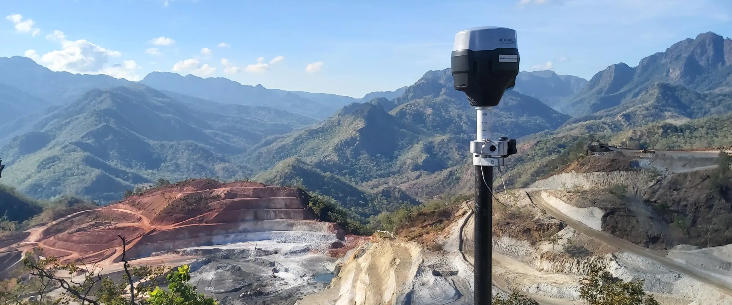
UAV Services
New technologies combined with UAVs have improved the efficiency for a range of tasks across the resources and construction sectors. Our fleet uses advanced GPS systems and photography, LiDAR, magnetic, and multispectral imaging sensors to accurately acquire data in the most of remote areas. Results are processed and turned around quickly and efficiently.
- Photogrammetric Surveys (Digital Ortho Photos)
- LiDAR Surveys (Ponit Clouds, DSM, DTM)
- Progress Surveys, Route Surveys, Surveys Control
- Aerial Videos & Close Inspection (Intergrity)
Geological & Mining Services
Enmintech has expertise to advise on geology, geodetic surveying, ground risk management, and mine engineering. Our experts have assisted with project evaluation, risk assessment, resource / reserve measurement, route planning, and civil design. We routinely provide resource and reserve reports in accordance with JORC, NI 43-101, and KCMI codes.
- Mining & Exploration
- Resource Modelling & Reporting
- Mine Design & Reserve Reporting
Quality Surveying Services in Indonesia