In today’s competitive exploration landscape, precision and efficiency are key. ENMINTECH leads the way in geophysical services, offering innovative solutions designed to push boundaries. Our cutting-edge offerings, such as Drone High Resolution Magnetic Survey, Passive Seismic HVSR, Deep Induced Polarisation (IP), and Electrical Resistivity Tomography (ERT), provide the insights you need to unlock the earth’s hidden potential. Our geophysical service suite ensures your exploration projects benefit from the most accurate and reliable subsurface data, empowering your decisions.
1. Drone High Resolution Magnetic Survey: Elevating Precision in Geophysical Service
ENMINTECH’s Drone High Resolution Magnetic Survey takes geophysical service to new heights by offering a high-tech, aerial approach to subsurface mapping. Leveraging the latest drone technology, we capture precise magnetic data across vast, hard-to-reach terrains, providing superior coverage with minimal environmental impact.
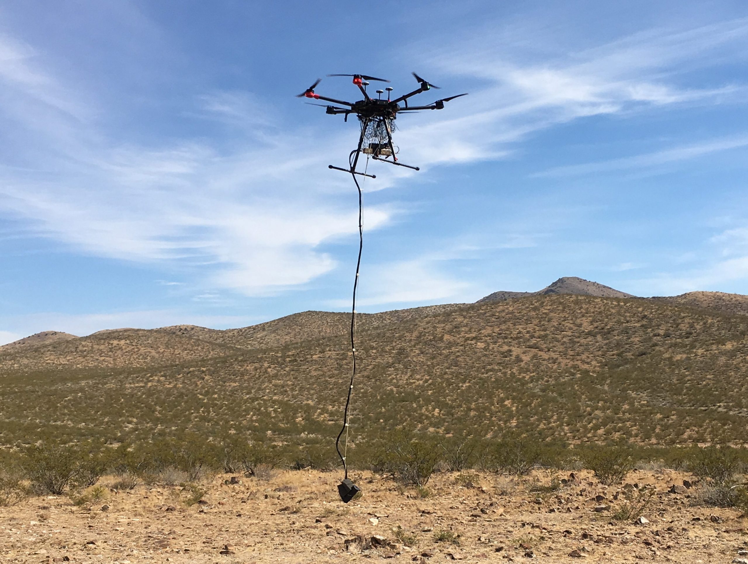
Key Benefits:
• Unmatched precision for detailed magnetic mapping.
• Rapid deployment, saving time and costs.
• Environmentally friendly, reducing ecological disruption.
2. Passive Seismic HVSR: Revolutionizing Non-Invasive Geophysical Service
Our Passive Seismic HVSR technique is a game-changer in geophysical services. This noninvasive method taps into natural seismic vibrations to deliver critical insights on bedrock depth, basin thickness, and fault lines—all without disturbing the environment. It’s the ideal solution for projects in sensitive areas where protection is paramount.
Key Benefits:
• Zero environmental impact—perfect for protected areas.
• High accuracy in identifying subsurface layers and bedrock.
• Applicable for both urban and remote geological surveys.
3. Deep Induced Polarisation (IP): Transforming Mineral Detection in Geophysical Service
At ENMINTECH, our Deep Induced Polarisation (IP) service enhances geophysical exploration by identifying subsurface conductive materials with precision. Whether you’re targeting mineral deposits or analyzing geological variations, our IP technology maximizes detection capabilities, empowering your mining projects.
Key Benefits:
• Enhanced mineral detection even at greater depths.
• High sensitivity to conductive rock properties.
• Versatile application across various geological settings.
4. Electrical Resistivity Tomography (ERT): Ultimate Subsurface Imaging in Geophysical Service
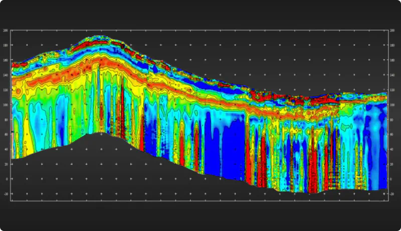
Our Electrical Resistivity Tomography (ERT) provides the most comprehensive 2D and 3D subsurface imaging available in geophysical services. This powerful method detects electrical resistance in the ground, creating accurate models that reveal mineral deposits, groundwater reservoirs, and structural geology.
Key Benefits:
• High-resolution 2D and 3D imaging of the subsurface.
• Ideal for mining exploration, groundwater detection, and geological studies.
• Safe, non-invasive, and eco-conscious approach.
Why Choose ENMINTECH for Your Geophysical Service Needs?
When it comes to geophysical services, ENMINTECH stands out for its blend of technical expertise and advanced technology. Our professional team ensures that your exploration efforts are backed by precise, actionable data that minimizes risk and maximizes success. We are dedicated to delivering unparalleled service, ensuring that every client benefits from the most reliable geophysical data to fuel their projects’ growth and success.