Optimizing LiDAR and Photogrammetry Technology for Exploration and Planning
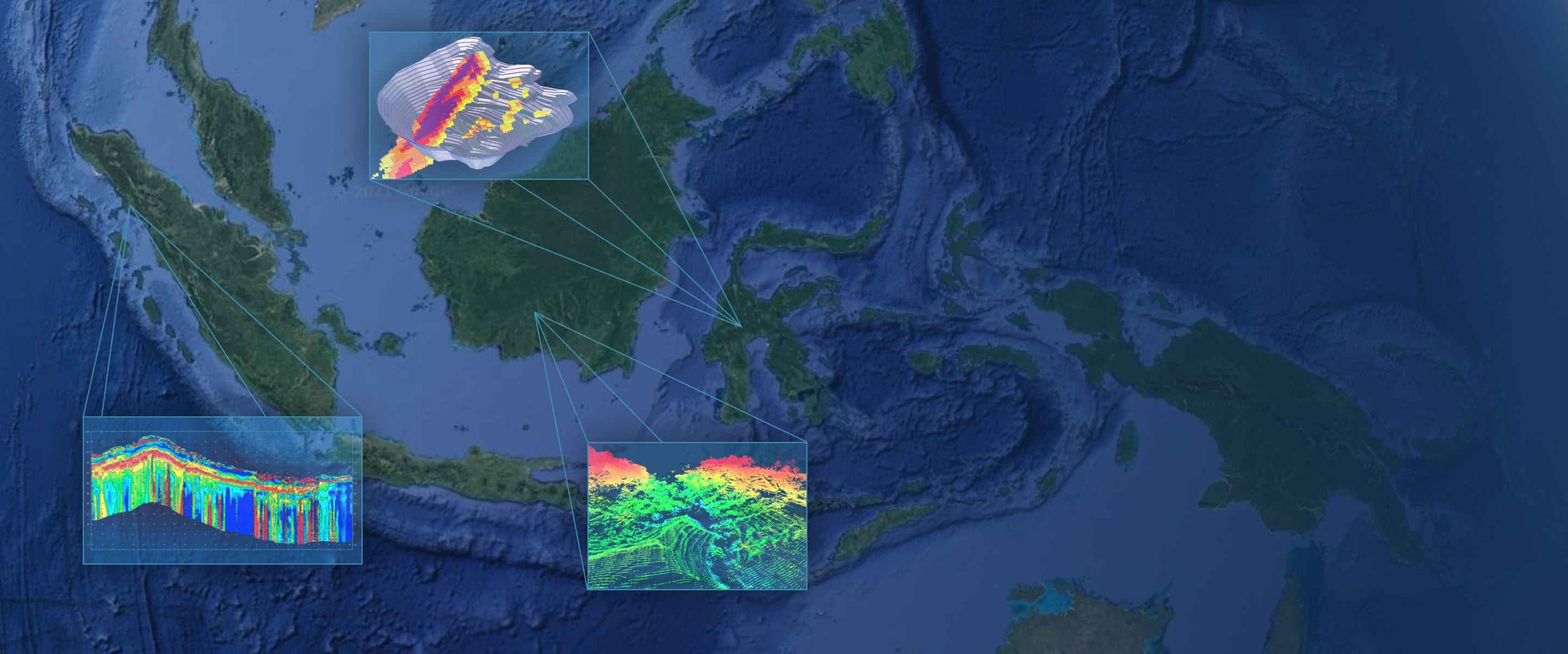
In the world of surveying and exploration, LiDAR (Light Detection and Ranging) and photogrammetry have emerged as complementary technologies for generating high-quality spatial data. These methods offer efficient solutions for mapping, topographic analysis, and project planning across various industries, from mining to infrastructure development. How Does LiDAR Work? LiDAR operates by emitting rapid laser pulses […]
Discovering HVSR: The Seismic Measurement Technology Unveiling Earth’sSubsurface Potential
The Horizontal-to-Vertical Spectral Ratio (HVSR) method might sound technical, but it’s a highly valuable tool for understanding the composition and structure of the Earth’s subsurface. HVSR has become essential in various fields, from geology and geophysics to construction and disaster mitigation. This article delves into how HVSR works, its applications, and how this technology helps […]
Exploring UAV Photogrammetry & LiDAR: A Leap in Accuracy!
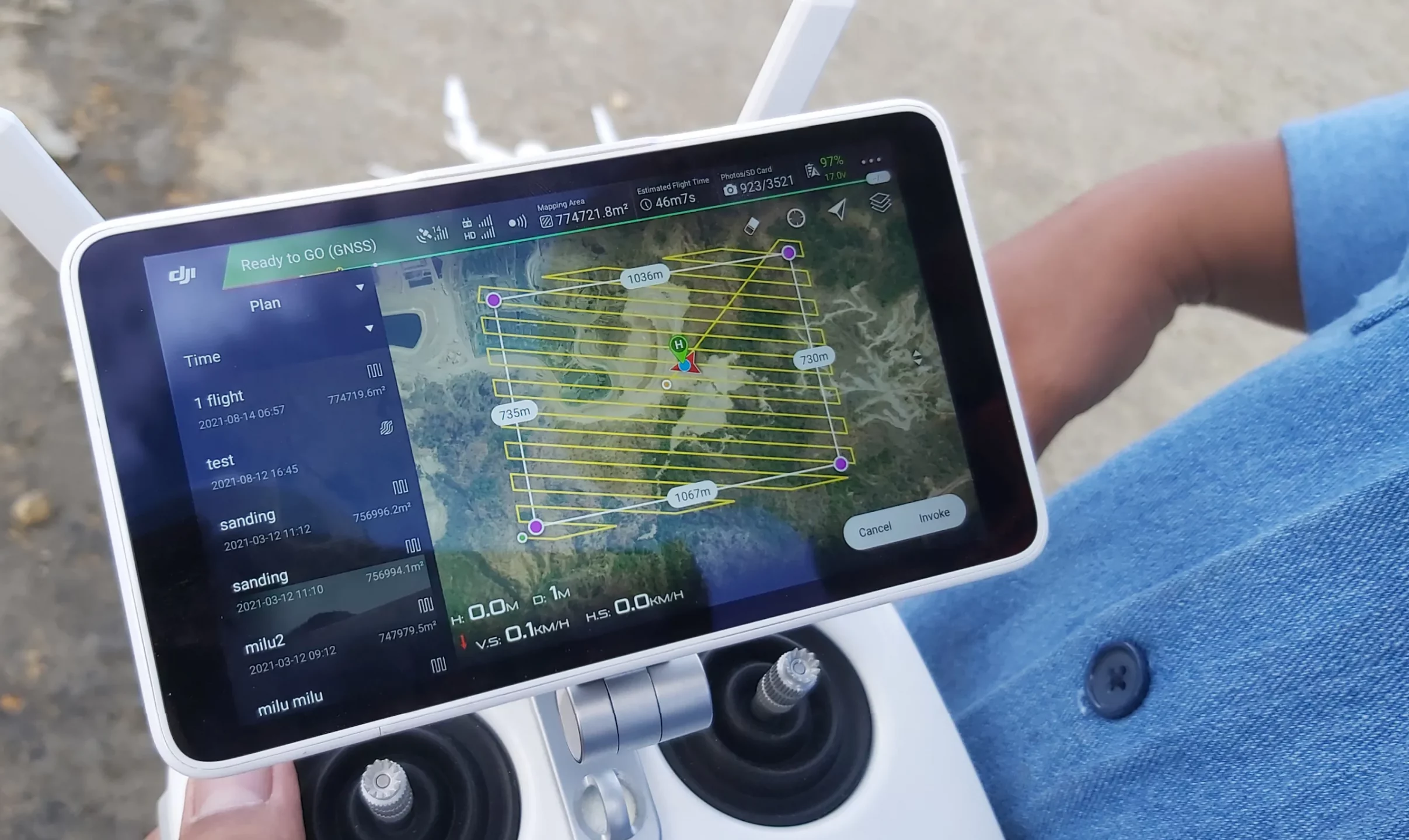
In today’s world, surveying technology has made giant leaps, bringing unmatched precision and efficiency. UAV Photogrammetric Surveys and UAV LiDAR Surveys are at the forefront of this evolution, offering exceptional detail and accuracy in mapping landscapes, infrastructure, and even dense forest canopies. By harnessing the power of drones, these surveys can now reach new heights and explore […]
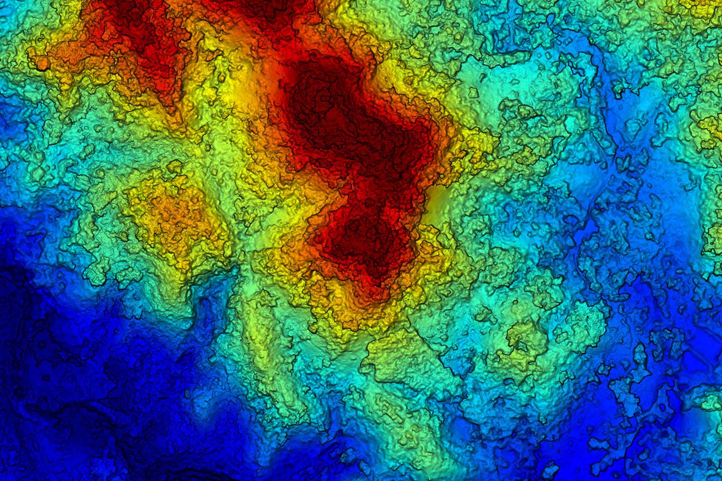
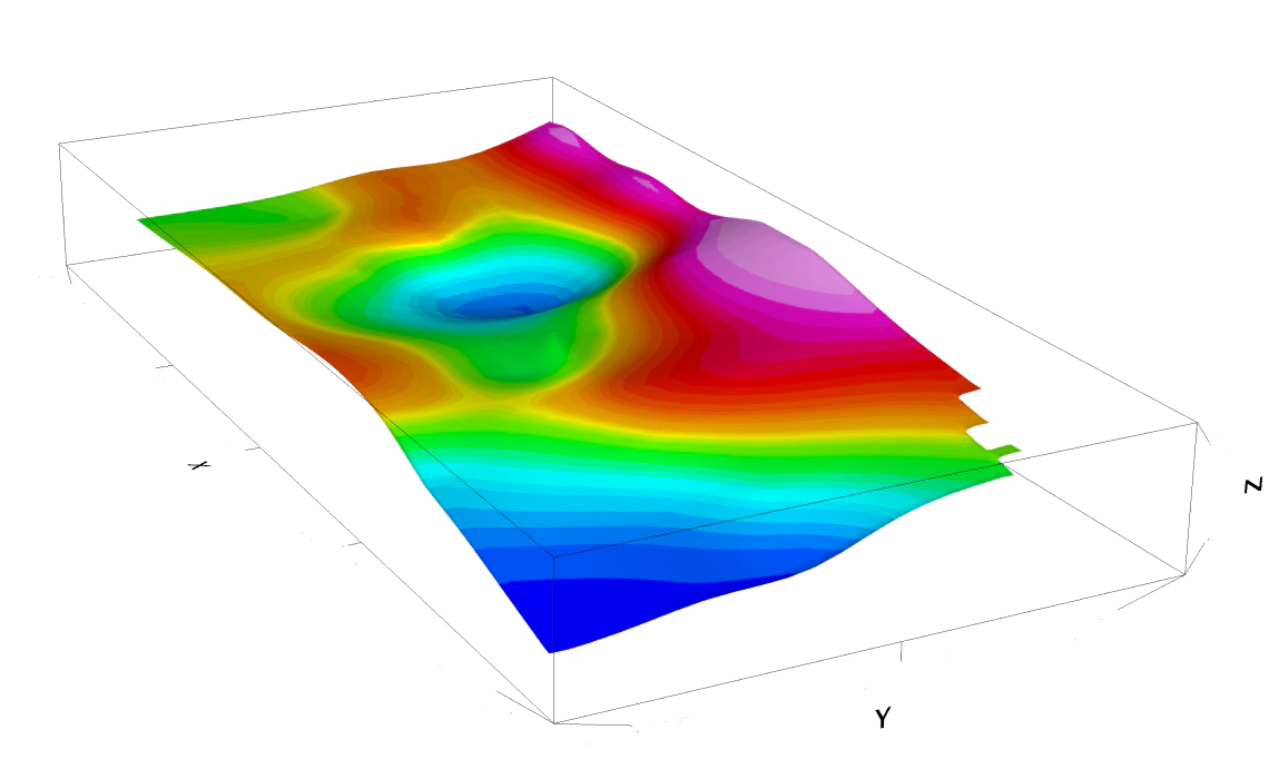
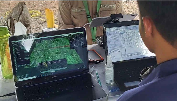
Transforming Mining Exploration with Advanced Geophysical Services
In today’s fast-evolving mining industry, staying competitive requires more than just basic tools—it demands innovative mining services and advanced geophysical techniques. At ENMINTECH, we don’t just provide services; we deliver extraordinary mining services designed to advance your exploration projects with unmatched accuracy and efficiency. Harnessing the Power of Lidar Technology At the heart of ENMINTECH’s advanced […]
Unleashing the Future of Geophysical Services with ENMINTECH
In today’s competitive exploration landscape, precision and efficiency are key. ENMINTECH leads the way in geophysical services, offering innovative solutions designed to push boundaries. Our cutting-edge offerings, such as Drone High Resolution Magnetic Survey, Passive Seismic HVSR, Deep Induced Polarisation (IP), and Electrical Resistivity Tomography (ERT), provide the insights you need to unlock the earth’s […]