The Horizontal-to-Vertical Spectral Ratio (HVSR) method might sound technical, but it’s a highly valuable tool for understanding the composition and structure of the Earth’s subsurface. HVSR has become essential in various fields, from geology and geophysics to construction and disaster mitigation. This article delves into how HVSR works, its applications, and how this technology helps us “peek” into the depths of the Earth that are otherwise hard to reach.
Also Read: Exploring UAV Photogrammetry & LiDAR: A Leap in Accuracy!
How Does HVSR Work?
HVSR operates on the principle that each location has a natural seismic response to microtremor waves. When an HVSR device is placed on the ground, it records vibrations in three directions: two horizontal and one vertical. The device then compares the horizontal-tovertical spectral ratio (H/V) to identify the characteristics of subsurface layers. These waves reveal the depth and strength of the underground layers beneath the device.

1. Recording Microtremor Waves
HVSR captures natural vibrations influenced by small seismic activities and human activities like traffic or heavy machinery. These waves are absorbed at certain depths, creating resonance patterns unique to each location.
2. H/V Ratio Analysis
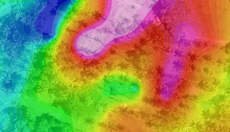
Once data is collected, the HVSR device calculates the H/V ratio, creating a spectral response graph. Peaks on this graph provide information about the ground’s resonant frequency, indicating differences in the subsurface layers, including distinctions between hard and soft layers.
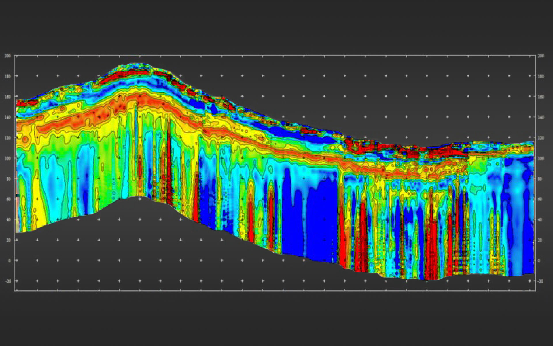
3. Generating Subsurface Profiles
With HVSR results, scientists can identify the thickness and hardness of various soil layers, which are crucial for disaster mitigation and construction. This profile is essential for determining ground stability at a site, vital for designing buildings and bridges.

HVSR Applications in Everyday Life
- Natural Disaster Mitigation: The HVSR method is invaluable for mapping earthquake-prone zones. By understanding the depth and hardness of soil layers, risks like liquefaction and seismic amplification can be evaluated to minimize earthquake impacts.
- Construction: HVSR helps determine ground stability before construction. This information supports architects and engineers in designing safer structures that withstand vibrations, especially in seismic-prone areas.
- Natural Resource Exploration: In addition to risk mapping, HVSR aids in resource exploration, such as groundwater and oil. The technology can identify aquifers or rock layers containing oil and gas.
- Conservation of Heritage Sites: HVSR assists in conserving centuries-old cultural heritage sites. The device can map hidden underground structures, allowing for safer restoration processes that preserve these sites.
Conclusion
HVSR is a technology that not only provides deep insight into underground layers but also offers diverse applications. From construction and disaster mitigation to natural resource exploration, this technology has helped people make more informed and sustainable decisions. For those interested in geophysics or related fields, learning HVSR methods could open doors to a dynamic industry that significantly impacts everyday life.
