In today’s world, surveying technology has made giant leaps, bringing unmatched precision and efficiency. UAV Photogrammetric Surveys and UAV LiDAR Surveys are at the forefront of this evolution, offering exceptional detail and accuracy in mapping landscapes, infrastructure, and even dense forest canopies. By harnessing the power of drones, these surveys can now reach new heights and explore places once thought inaccessible. With stunning visuals from photogrammetry and penetrating laser pulses from LiDAR, these technologies are transforming how we perceive the world.
UAV Photogrammetric Surveys: Capturing Reality with Precision
Photogrammetric Surveys use high-resolution images captured by UAVs to create accurate, photorealistic 3D models. This method is particularly powerful for mapping terrains, construction sites, and environmental monitoring. By capturing images from various angles and stitching them together, photogrammetry produces an in-depth view that is both highly accurate and visually compelling. It’s as if you’re getting a bird’s-eye view of the world, with each detail coming to life. This technology offers an emotional connection, as it lets you “see” the world from above in a way that is both awe-inspiring and highly practical.
UAV LiDAR Surveys: Seeing Beyond the Surface
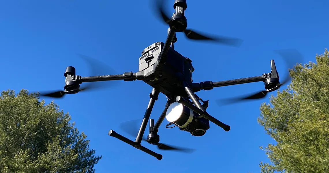
While photogrammetry is all about surface detail, UAV LiDAR surveys dig deeper—literally. LiDAR, or Light Detection and Ranging, sends laser pulses to measure distances and penetrate through canopies, foliage, and even water to reveal what’s beneath. It provides high-resolution, accurate terrain data essential for mining, forestry, and urban planning. When paired with UAV technology, LiDAR can cover large, remote areas in record time, collecting data with unmatched accuracy. Imagine seeing through the forest to map ancient ruins or hidden geological features—that’s the power of UAV LiDAR, revealing hidden worlds right before our eyes.
Conclusion: A Future Shaped by UAV Photogrammetry and LiDAR
Both UAV Photogrammetry and UAV LiDAR surveys offer unique insights and powerful capabilities for various industries. They enable professionals to gather data that is not only visually compelling but also incredibly precise. These technologies are shaping a future where accurate mapping and detailed analysis are more accessible than ever before. The synergy between photogrammetry’s stunning visuals and LiDAR’s deep insights makes this combination a game-changer, leading us into a future where the skies hold the key to understanding the ground beneath our feet.