Optimizing LiDAR and Photogrammetry Technology for Exploration and Planning

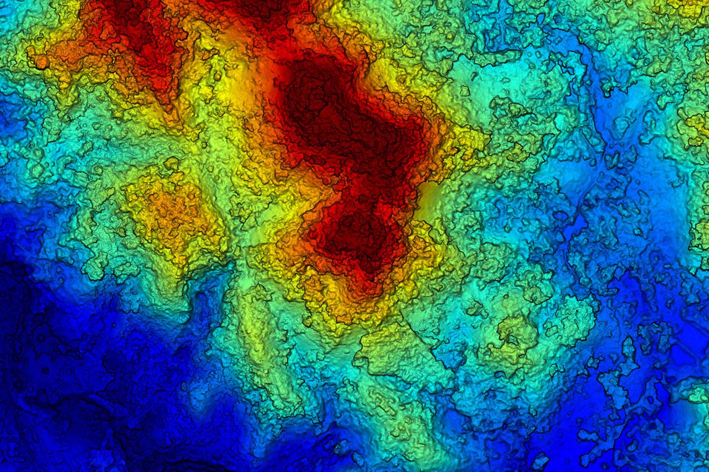
In the world of surveying and exploration, LiDAR (Light Detection and Ranging) and photogrammetry have emerged as complementary technologies for generating high-quality spatial data. These methods offer efficient solutions for mapping, topographic analysis, and project planning across various industries, from mining to infrastructure development. How Does LiDAR Work? LiDAR operates by emitting rapid laser pulses […]
Transforming Mining Exploration with Advanced Geophysical Services

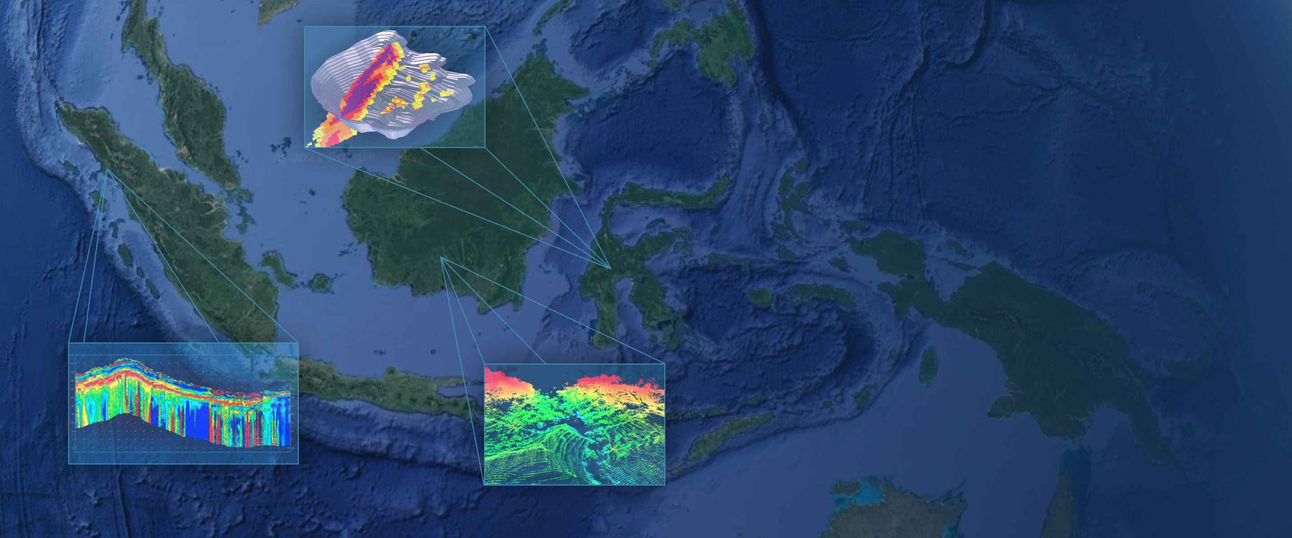
In today’s fast-evolving mining industry, staying competitive requires more than just basic tools—it demands innovative mining services and advanced geophysical techniques. At ENMINTECH, we don’t just provide services; we deliver extraordinary mining services designed to advance your exploration projects with unmatched accuracy and efficiency. Harnessing the Power of Lidar Technology At the heart of ENMINTECH’s advanced […]
